One of the great views in Sleepy Creek Wildlife Management Area (Morgan & Berkeley counties, West Virginia) is from a spot called Pee Wee Point. Thanks to some fancy new signs from the West Virginia Division of Natural Resources, the trailhead that leads toward the point is even easier to find these days. Near the Morgan/Berkeley County line, Pee Wee Point can be reached either by following the Tuscarora Trail (blue blaze) or by walking a jeep trail south from Hampshire Grade Road. That road is open to vehicles when the WMA gates are unlocked — mostly only during legal hunting seasons.
(**Hikers coming into the Wildlife Management Area from the Back Creek area can also get to Pee Wee Point from the Brush Creek access. Take Rt. 45 to Historic Packhorse Trail.)
For me, it’s a 5-mile round-trip hike from Hampshire Grade Road, with several side loop options. If you can manage an early start, Pee Wee Point is a lovely place to watch the sun rise. It’s not a bad place to watch the light fade, too.
Take one
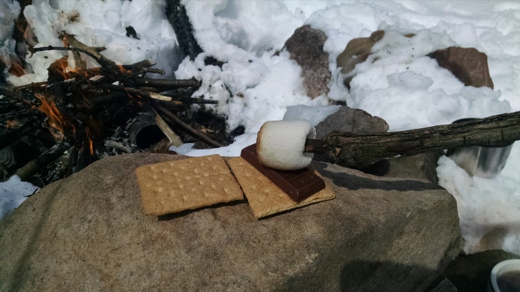
My first attempt to reach the point was a bust. That was probably for the best, because I hadn’t studied the maps well, and had my two sons in tow. I’d bribed them into going on the hike with promises of ‘smores, so my pack was heavy with supplies and a thermos of hot chocolate. Four inches of snow left over from a storm and muddy tracks on the jeep trail made for messy going. About half a mile in, a broken sign for Wolf Creek Campground stood to the left. It was just an open field with large trees around – snow covered. We hiked on toward Pee Wee Point. The boys lagged at an old shale hillside that had been dug out, and was now a mix of snow and mud. I went ahead a little as they slid around on the small hill. The youngest called out as he fell on his knee, and I could see that was the end of our progress. Back we went to the campground, where we uncovered a stone fire circle. Three or four tries later, I had a fire hot enough to roast a few marshmallows and deliver on my promise.
Renewed with sugar, the boys buried each other in snow, and we trekked back to the car. It was one of those “hikes” that didn’t involve much hiking.
A second try
Inspired rather than discouraged, I returned to the trail a few days later — this time solo. Our tracks from the last visit were still frozen into the snow crust.
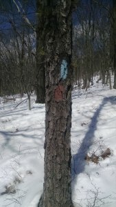
The Tuscarora & Pee Wee Point Trail (red and blue) come together, then diverge – blue goes on a more westerly, lower path as the red climbs to the top of a ridge. To the west is Sleepy Creek Mountain heading south to High Rocks and Shockey’s Knob. The red trail follows the ridge, with views East and West, crossing through three open wildlife clearings along the way. About two miles in, I thought I had taken a wrong trail. There was no point where they should be one, according to the map.
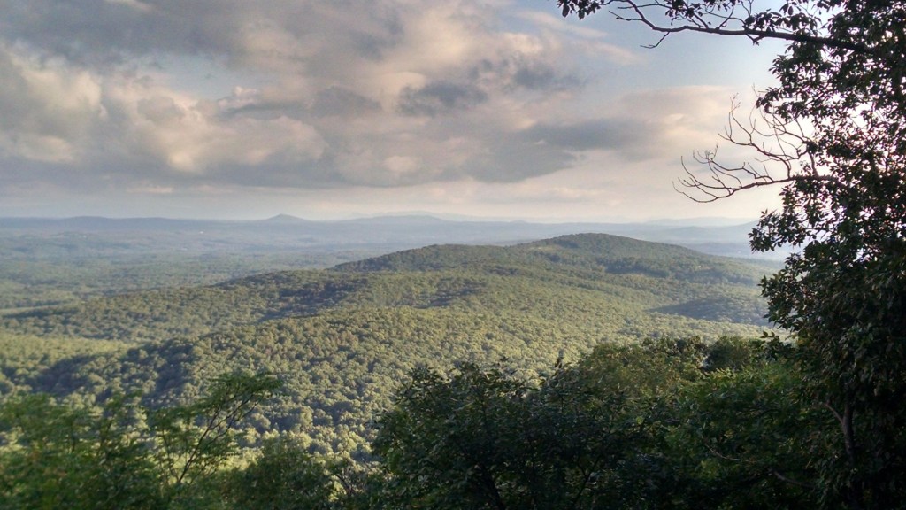
Another 30 minutes before I turn around, I bargained with myself. Ten minutes later I was standing in a piney section of forest facing an opening to the east. A smallish (five foot tall) boulder perched over one of the finest, longest open vistas I’ve seen in the area, taking in North Mountain, the start of the Shenandoah Valley and southern Back Creek Valley, with stacked hues of blue mountain profiles.
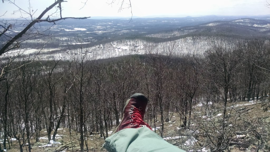
The view kept me perched on that boulder for close to an hour. It took a physical effort to make myself slide down and hike back to the car.
And back again
Some hikes are tied to a kind of mood. They have a rhythm and feel that becomes familiar enough to conjure them up in your mind. Walking to Pee Wee Point is that sort of hike. In a certain kind of week, it’s the hike that will set me right. Long enough to shake loose the knots of daily life and stretch my legs, it’s still short enough to fit inside a morning or afternoon. The trail climbs a little, flattens, drops and rises again, winds through closed-in forest and out through open cuts. Views from the point roll out to the east and south, wide enough to settle into a quiet peace. A little trail takes you further out onto a rocky reach among more pines, and there is the southern knob of Sleepy Creek Mountain to the west…an invitation to some other hike on another day.